| column | input |
|---|---|
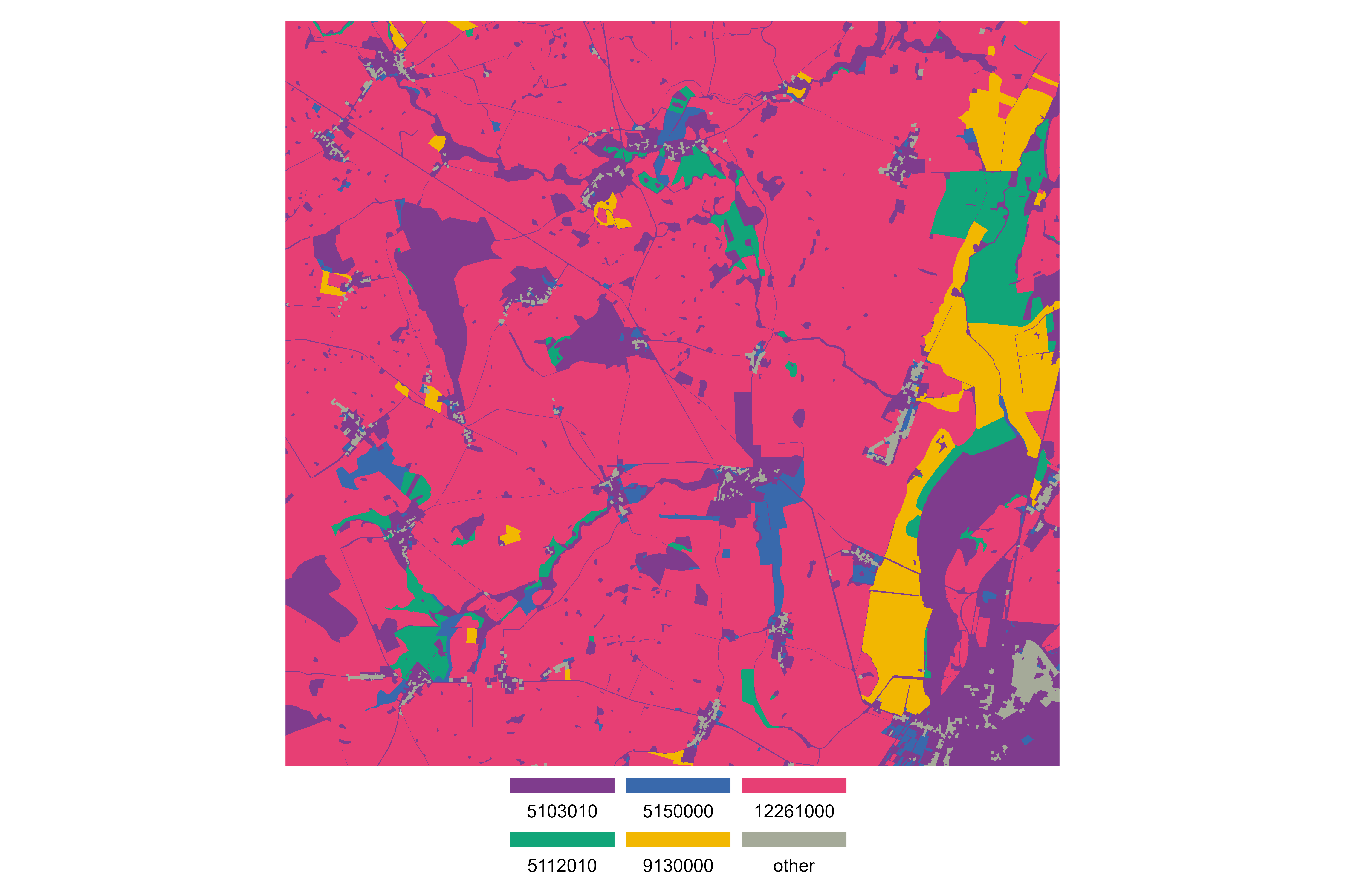
| folder_name | landuse_atlas_2009_1m_03035_tif |
| name | landuse_atlas_2009_1m_03035.tif |
| crs | +proj=laea +lat_0=52 +lon_0=10 +x_0=4321000 +y_0=3210000 +ellps=GRS80 +units=m +no_defs |
| epsg | 3035 |
| year_of_data | 2009 |
| units_of_data | landuse categories |
| resolution | 1m |
| type_of_data | ordered_categorical |
| type_of_file | .tif |
| source | metaver |
| link_of_source | https://metaver.de/trefferanzeige?docuuid=B57B9F35-AFFF-49F2-BA32-618D1A1CD412#detail_overview |
| date_of_compile | 2023-01-04 |
| copyright | © Landesbetrieb Geoinformation und Vermessung. Alle Rechte vorbehalten. |
| short_description | created from landuse_brandenburg_2009_polygons_25833_gpkg and landuse_brandenburg_2009_lines_25833_gpkg |
| modified | NA |
Session Info
[1] "2023-03-13 11:21:07 CET"R version 4.2.2 (2022-10-31 ucrt)
Platform: x86_64-w64-mingw32/x64 (64-bit)
Running under: Windows 10 x64 (build 17763)
Matrix products: default
locale:
[1] LC_COLLATE=German_Germany.1252 LC_CTYPE=German_Germany.1252
[3] LC_MONETARY=German_Germany.1252 LC_NUMERIC=C
[5] LC_TIME=C
attached base packages:
[1] stats graphics grDevices utils datasets methods
[7] base
other attached packages:
[1] patchwork_1.1.2
loaded via a namespace (and not attached):
[1] terra_1.7-18 tidyselect_1.2.0 xfun_0.37
[4] bslib_0.4.2 purrr_1.0.1 sf_1.0-9
[7] colorspace_2.1-0 vctrs_0.5.2 generics_0.1.3
[10] htmltools_0.5.4 stars_0.6-0 yaml_2.3.7
[13] utf8_1.2.3 rlang_1.0.6 e1071_1.7-13
[16] jquerylib_0.1.4 pillar_1.8.1 glue_1.6.2
[19] withr_2.5.0 DBI_1.1.3 lifecycle_1.0.3
[22] munsell_0.5.0 gtable_0.3.1 ragg_1.2.5
[25] codetools_0.2-18 memoise_2.0.1 evaluate_0.20
[28] knitr_1.42 fastmap_1.1.1 parallel_4.2.2
[31] class_7.3-20 fansi_1.0.4 highr_0.10
[34] Rcpp_1.0.10 KernSmooth_2.23-20 scales_1.2.1
[37] classInt_0.4-9 cachem_1.0.7 lwgeom_0.2-11
[40] d6geodata_0.0.0.9000 jsonlite_1.8.4 abind_1.4-5
[43] farver_2.1.1 systemfonts_1.0.4 textshaping_0.3.6
[46] distill_1.5 ggplot2_3.4.1 digest_0.6.31
[49] dplyr_1.1.0 grid_4.2.2 cli_3.6.0
[52] tools_4.2.2 magrittr_2.0.3 sass_0.4.5
[55] rcartocolor_2.0.0 proxy_0.4-27 tibble_3.2.0
[58] tidyr_1.3.0 pkgconfig_2.0.3 downlit_0.4.2
[61] timechange_0.2.0 lubridate_1.9.2 gt_0.8.0
[64] rmarkdown_2.20 rstudioapi_0.14 R6_2.5.1
[67] units_0.8-1 compiler_4.2.2